OUR SERVICES


ABOUT
Advancing Drone Innovation, Compliance, and Environmental Intelligence
At 4D UAV Media, we bridge decades of professional aviation experience with cutting-edge unmanned systems to deliver safe, compliant, and sustainable drone solutions across Canada and beyond. Founded and operated by Patrick Montana and my team of licensed aviation professionals with backgrounds in aerial firefighting, airspace management, and commercial aviation, we bring an uncompromising commitment to safety, precision, and regulatory compliance to every operation.
Certified Training for the Next Generation of RPAS Professionals
With the upcoming
Transport Canada RPAS regulatory framework expanding into
RPASOC
and
Level 1 Complex Operations, professional training has never been more critical.
Our
4D Training Department offers
Basic, Advanced and
Level 1 Complex Operations Ground School — a comprehensive, in-person course designed to prepare operators for
legal and regulatory compliance under the
new Transport Canada standards.
Taught by experienced pilots, flight reviewers, and regulatory experts, this course covers
SORA-based risk assessment, operational planning, command-and-control link management, contingency procedures, and
automation oversight.
Our mission is to empower every pilot and operator with the competence, confidence, and compliance needed to perform complex missions safely and professionally — from BVLOS operations to multi-aircraft coordination.
Environmental Solutions
Hypochlorous Acid (EW Water) Spraying
- Organic Sanitation & Agriculture – Deliver hypochlorous acid (HOCl) via drone for crop spraying, livestock facilities, greenhouses, sanitation and beauty/household applications.
- Precision Application – Using our AI‑enabled spray drones, we ensure accurate coverage and dosage while minimizing environmental impact.
- Benefits: Reduce pathogens, improve plant health, support sustainable farming, and create carbon credit opportunities.
Dust Suppression (DustBlocker)
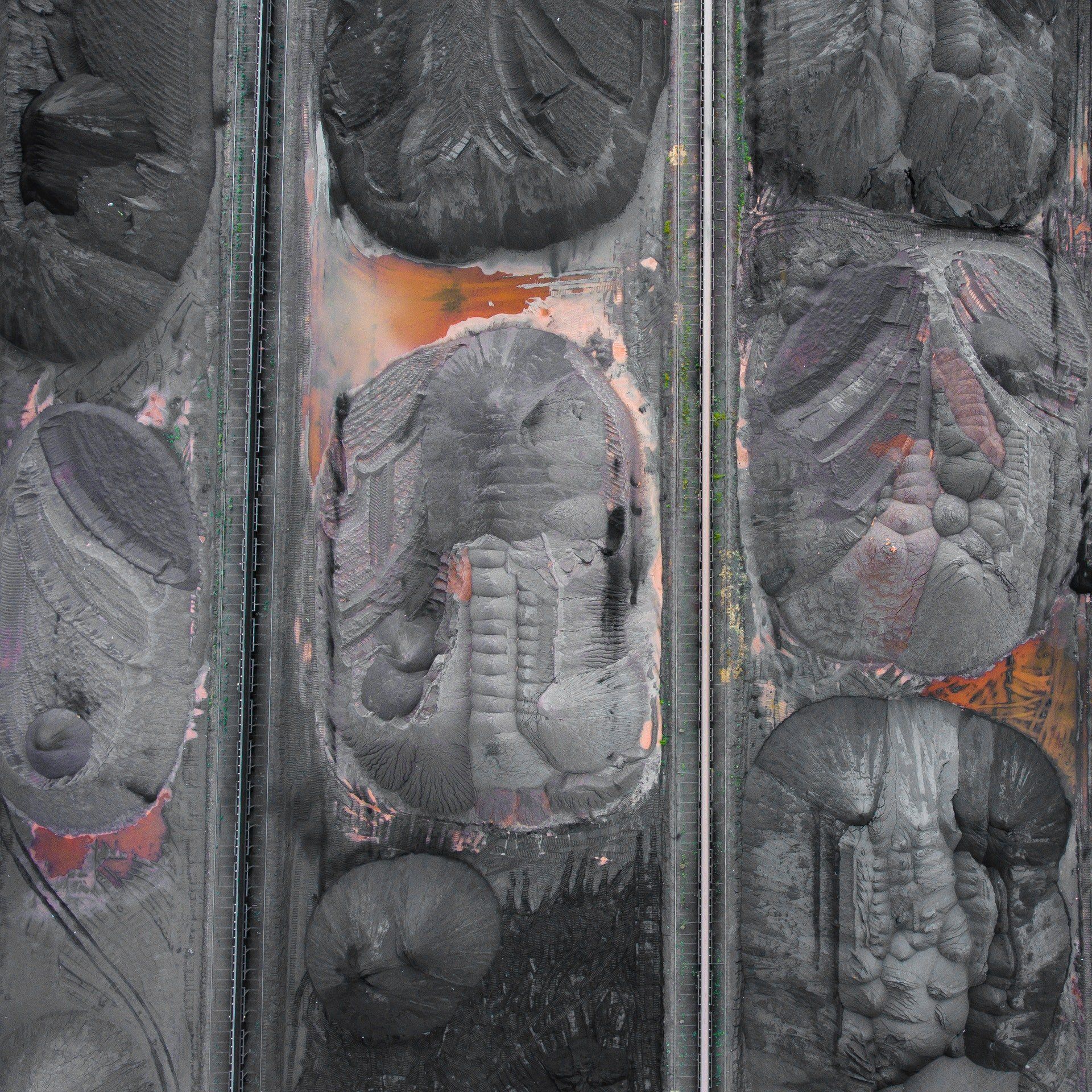
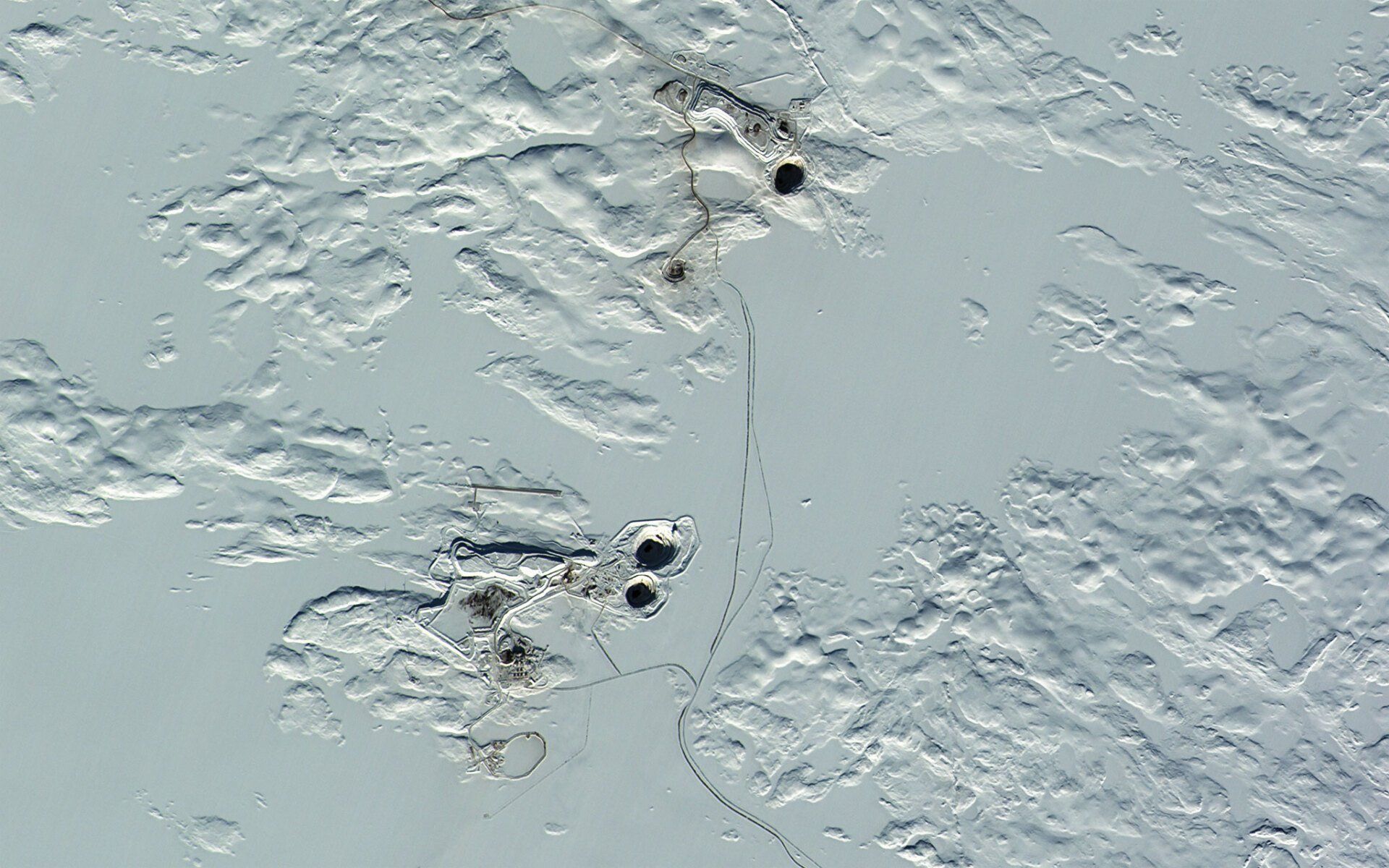
- Mining & Construction Dust Control – Apply DustBlocker via drone to stabilize soil and reduce airborne dust on haul roads, stockpiles and industrial sites.
- Site Analysis & Planning – Conduct pre‑spray surveys to determine application rates and coverage patterns.
- Reporting: Provide clients with before/after imagery and volume reduction metrics.
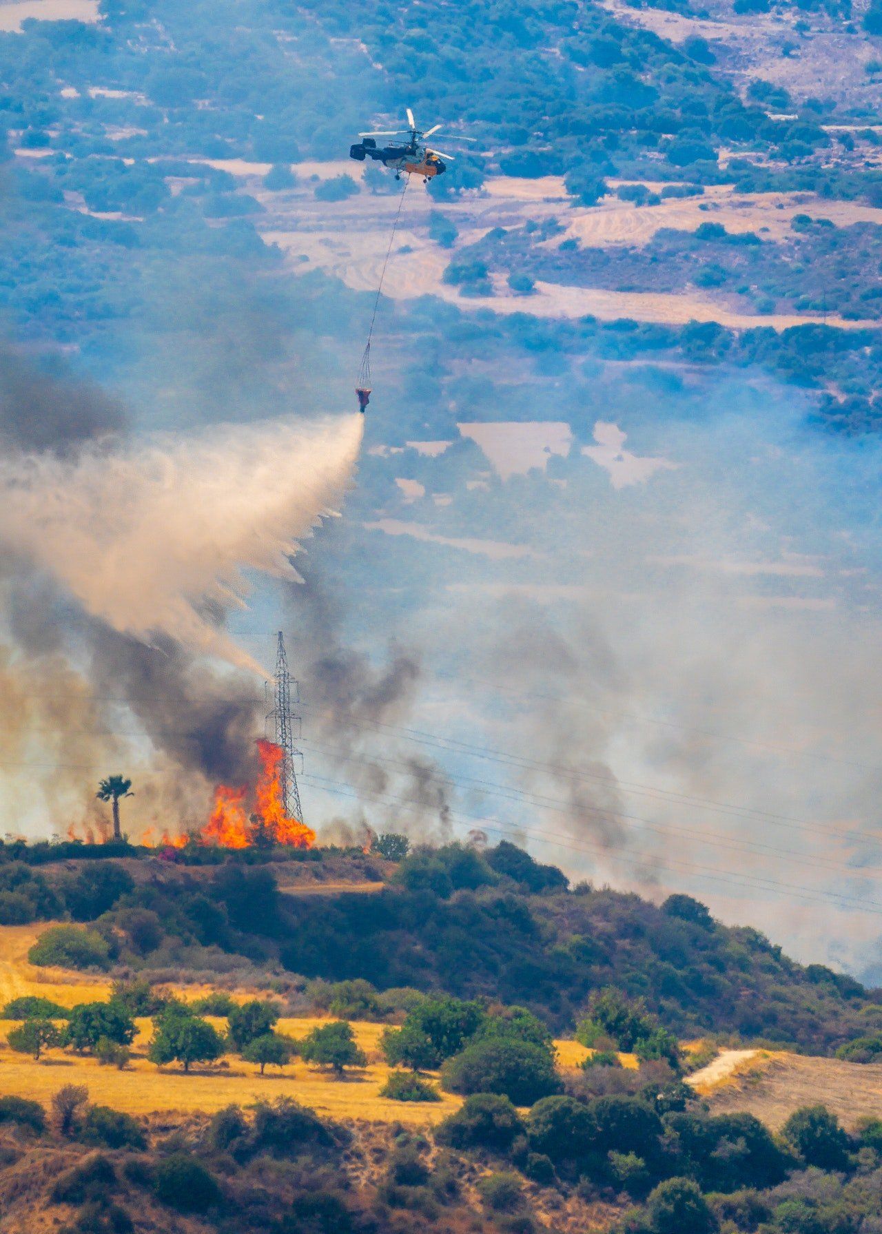
Thermal & Fire Protection
Thermal Imaging & Inspections
- Infrastructure & Energy Audits – Use infrared sensors to detect heat loss, equipment faults and water stress.
- Wildfire Detection & Response – Conduct thermal drone patrols to spot hotspots and support firefighting operations.
FireSmart & FireBlocker Assessments
- Risk Assessments – Perform FireSmart property surveys; identify fuel loads, terrain risks and mitigation strategies.
- FireBlocker Application – Apply fire retardant coatings to structures and vegetation to reduce ignition risk.
- Emergency Response: Deploy drones for real‑time intelligence during active wildfires.
Agriculture & Land Management
- Soil Evaluation & Biochar Amendments – Work with agronomists to sample soil, prescribe nutrient‑enriched biochar applications and boost crop yields.
- Vegetation Monitoring – Use multispectral and hyperspectral sensors to assess plant health and optimize irrigation and fertilization.
- Carbon Credits: Generate and document carbon offset projects.
Sprinkler Systems & Land Prep
- Site Survey & Design – Plan custom sprinkler systems for wildfire protection, including water sources, hose routing and pump selection.
- Installation & Contracts – Install permanent or temporary sprinklers; offer annual servicing, winterization and spring setup contracts.
- Emergency Deployment – Train homeowners and businesses to activate systems during wildfire events.
Strategic Partnerships & Sustainable Solutions
4D UAV Media proudly collaborates with these industry-leading partners to deliver innovative, eco-conscious solutions that merge aviation precision with environmental science:
- MS Environmental Solutions - Terry Sulphur's team are leaders in organic lubricants, dust suppression and fire retardant technologies, advancing safe and sustainable environmental control methods.
- Sanico Technologies Ltd. - Gary Pike's development of equipment producing high ORP Hypochlorous Acid (HOCl) solutions that are antiviral, antibacterial, and antifungal, supporting sanitation, crop protection, and pathogen management.
- Albaorganics.ca - Robby Gass is pioneering sustainable farming through meticulous Agriculture, Land, and Biota Assessments to perscribe nutrient applications that protect the living microbial population for effective soil regeneration.
- Agrotekindustries.com - Jonathan Mathias is committed to advancing research and development in sustainable agriculture, ensuring that modern farming solutions align with environmental responsibility and food security.
Through these partnerships, we combine aerial deployment technology with green chemistry to improve public health, workplace safety, and agricultural resilience.
Agronomy, AI, and Actionable Insights
Our team works alongside professional
agronomists to perform detailed
soil evaluations and develop
prescribed amendment plans featuring
nutrient-enriched biochar applications.
These programs optimize
crop yield,
restore degraded soils, and
sequester carbon — creating measurable
carbon-credit offsets for producers and landowners.
Leveraging artificial intelligence, multispectral and hyperspectral sensors, and advanced processing software, we transform drone-captured data into actionable reports that drive smarter environmental decisions. From vegetation health monitoring and erosion mapping to post-treatment verification, our solutions empower clients with the insights needed for sustainable and profitable land management.
Our Mission
To advance the responsible use of unmanned aerial systems through:
- Compliance-driven innovation
- Environmental stewardship
- Training excellence
- AI-enabled decision intelligence
At 4D UAV Media, we’re not just flying drones —
we’re building the future of sustainable aviation and intelligent environmental operations.
We look forward to speaking with you.
Blue Skies!